
Springfield, Illinois – A pronounced late-winter warmup is lining up across central and southern Illinois in the Feb. 21–27 window, bringing a higher likelihood of above-normal temperatures and increasing rain chances across the region.
According to the National Weather Service Climate Prediction Center, central and southern Illinois fall within a 50% to 60% probability zone for above-normal temperatures during the 8- to 14-day outlook. That trend signals afternoon highs running several degrees above late-February averages from Springfield to Decatur and south toward Carbondale and Marion.

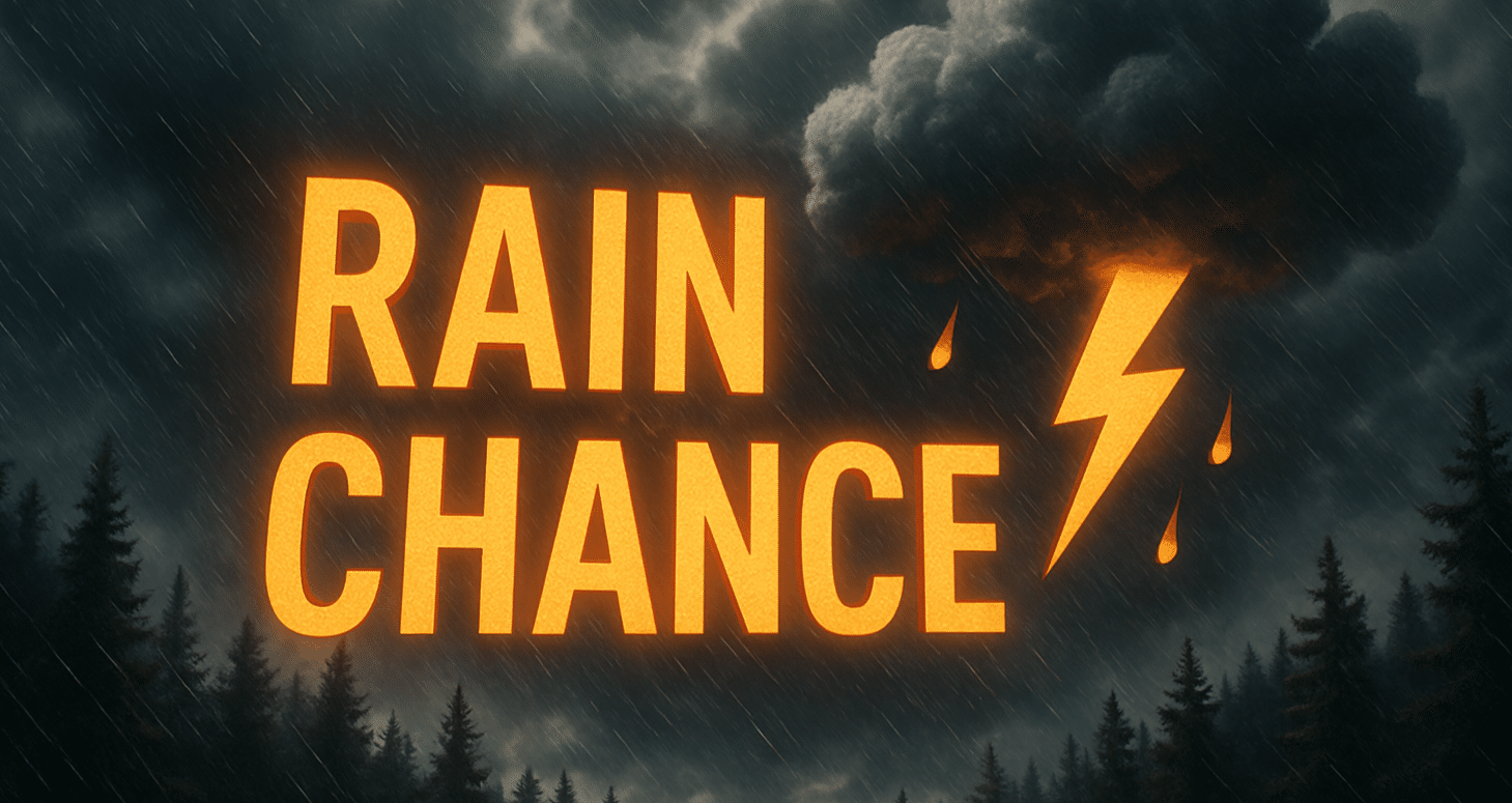
Rain probabilities are also elevated, with a 50% to 60% chance of above-normal precipitation. That setup favors multiple systems tracking through the Midwest and Ohio Valley, bringing rounds of showers. Communities along and south of Interstate 70, including Effingham and Mount Vernon, could see steadier rainfall at times if storm tracks align farther south.
Drivers should prepare for wet stretches along I-55, I-57 and I-64, especially during heavier showers when visibility can drop and water may pond on roadways. Low-lying and poor-drainage areas could experience brief standing water.
The broader pattern supports active, milder conditions rather than a return to prolonged winter cold. Additional updates from the National Weather Service may refine timing and rainfall totals as late February approaches.

