
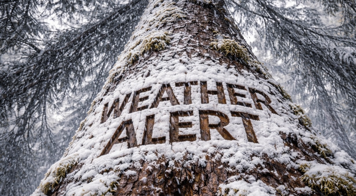
Binghamton, New York – Lake effect snow showers continue tonight, prompting travel concerns into Thursday morning across Central New York.
According to the US National Weather Service in Binghamton, snow showers will remain widespread through Wednesday evening before becoming more concentrated near and downwind of the Finger Lakes overnight into Thursday.

Winter Weather Advisories remain in effect until 8 a.m. Thursday for Madison and Oneida counties, including areas near Interstate 81. Advisories for Onondaga, Cortland, Tompkins and southern Cayuga counties — impacting travel corridors near I-81 and I-86 — have been extended until 1 p.m. Thursday.
Forecasters say lake effect snow bands from Lake Ontario will persist into Thursday morning before gradually diminishing during the afternoon hours. Snowfall accumulations will vary by location, with the most persistent bands expected near the Finger Lakes region and extending into portions of the Southern Tier.
Motorists traveling along I-81, I-86 and I-88 should prepare for reduced visibility, snow-covered stretches and changing road conditions, especially during the morning commute.
The weather service notes that snowfall intensity will decrease later Thursday, though isolated snow showers may linger across north-central New York into the evening.
Students, commuters and delivery drivers using major highways early Thursday should allow extra travel time.
Conditions are expected to gradually improve heading into Friday.

