
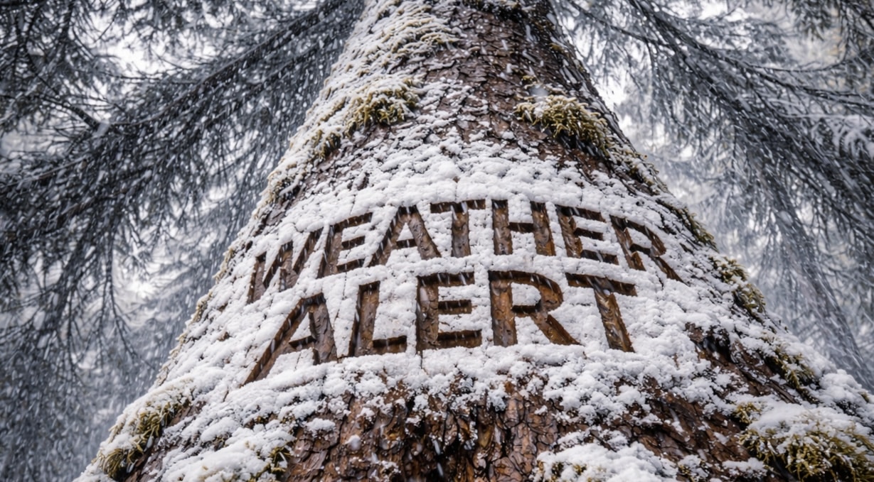
Wyoming’s mountains are disappearing behind bands of steady snow this morning, and travel over Teton Pass is turning difficult as bursts of heavier snowfall sweep through. Snow is piling up fast above the valleys, with slick stretches reported in higher elevations. If you’re crossing the passes, reconsider timing.
According to the National Weather Service in Riverton, a Winter Weather Advisory remains in effect for the Teton and Gros Ventre Mountains until 5 p.m. Snow totals of 4 to 10 inches are expected, with isolated higher amounts on the peaks. The heaviest snow falls between 6 a.m. and 3 p.m., where rates may reach a half-inch per hour. Winter driving conditions are anticipated over Teton Pass and surrounding mountain routes.

In Riverton, conditions are far quieter. Skies turn mostly cloudy with a high near 50 degrees. Roads across Fremont County stay mainly dry, but brisk morning air near 23 degrees keeps sidewalks icy in shaded spots. It’s a classic February contrast: snow in the high country, mild air in the basin.
Thursday brings mostly sunny skies and a high near 54. Friday stays bright with highs in the lower 50s, setting up a pleasant Valentine’s Weekend. Saturday and Sunday remain partly sunny with highs in the low to mid-50s.
Early next week trends even milder. Washington’s Birthday may approach the upper 50s, and longer-range signals point to above-average temperatures across much of Wyoming. A slight chance of rain or snow showers returns by Tuesday, but widespread winter impacts look limited outside the mountains.
If you’re traveling toward Jackson or over Teton Pass today, check WYDOT updates before heading out. Seeing snow where you are? Share conditions with us.
Five Day Outlook for Riverton, Wyoming:
Wednesday: Mostly cloudy, high 50.
Thursday: Mostly sunny, high 54.
Friday: Sunny, high 52.
Saturday: Partly sunny, high 53.
Sunday: Partly sunny, high 56.

