
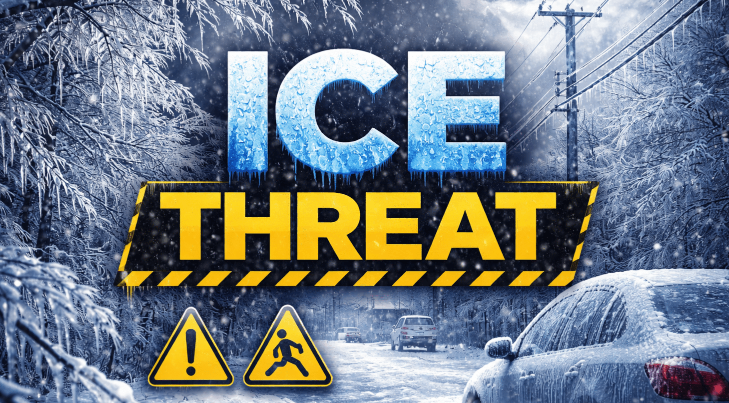
New York, New York – Travel across the New York City metro area could turn hazardous within hours as freezing rain and drizzle develop by early evening, creating slick roads, bridges, and sidewalks through the Wednesday morning commute.
According to the National Weather Service in New York, a Winter Weather Advisory is in effect from 6 p.m. Tuesday until 6 a.m. Wednesday for much of southern Connecticut, southeast New York, northeast New Jersey, and New York City. Snow may briefly begin as light accumulation before transitioning to freezing rain and freezing drizzle, with ice accumulations reaching up to one-tenth of an inch in parts of the region.

The greatest impact window runs from the evening commute through the overnight hours. Bridges, overpasses, and untreated surfaces are expected to ice over first in areas including the Bronx, northern Queens, northern Nassau County, Westchester, Rockland, Orange County, and northeast New Jersey. In southern Connecticut, similar conditions are expected across Fairfield, New Haven, and Middlesex counties.
In New Jersey, light freezing rain is expected to coat roads across Bergen, Essex, Union, Hudson, and Passaic counties, where even a thin glaze could lead to spin-outs and slowed travel. Isolated power disruptions are possible where ice builds on tree limbs and lines.
Transportation agencies across the tri-state area urge drivers to reduce speeds, allow extra stopping distance, and avoid unnecessary travel overnight. Pedestrians should use caution on steps and sidewalks, which may appear wet but be coated in ice.
Conditions gradually improve after daybreak Wednesday as temperatures rise, though slick spots may linger during the early commute. Advisories remain in effect through 6 a.m., and additional updates may be issued if icing becomes more widespread.

