
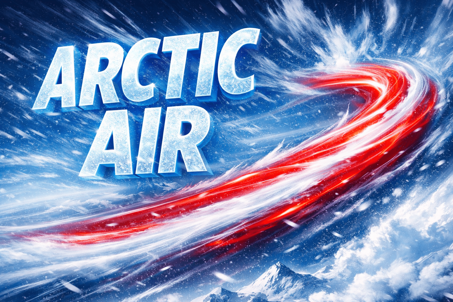
Binghamton, N.Y. — An arctic front sweeping across central New York late Friday brings light accumulating snow followed by dangerously cold air, triggering an Extreme Cold Warning that impacts travel and safety along I-81, I-86, and I-88 through the weekend.
The National Weather Service in Binghamton said snowfall develops Friday afternoon and evening, with totals of 1 to 3 inches possible by Saturday afternoon. While accumulations remain modest, rapidly falling temperatures behind the front create hazardous conditions as snow-covered roads refreeze quickly.

By early Saturday morning, much colder air pours into the region as strong winds increase. Wind chills plunge to as low as minus 30 degrees, creating life-threatening conditions for anyone exposed outdoors for even short periods. The Extreme Cold Warning covers much of central New York and extends into northeastern Pennsylvania through early Sunday afternoon.
The most severe impacts focus along I-81 from Binghamton through Cortland and Syracuse, I-86 near Elmira and Corning, and Route 17 across the Southern Tier. Open stretches of roadway experience blowing snow and rapid heat loss from pavement, increasing the risk of icy conditions despite limited snowfall.
Communities affected include Binghamton, Ithaca, Syracuse, Cortland, Elmira, Norwich, Oneonta, Auburn, and surrounding rural areas. Frostbite can occur on exposed skin in as little as 15 to 30 minutes during the coldest periods.
Officials urge drivers to limit travel during the coldest hours, dress in layers, and carry emergency supplies if travel is unavoidable. Motorists should be prepared for stalled vehicles and rapidly changing road conditions.
Winds gradually ease late Sunday, but bitter cold lingers into early next week. Temperatures remain well below normal, keeping winter firmly in control across the Southern Tier and central New York commuter corridors.

