
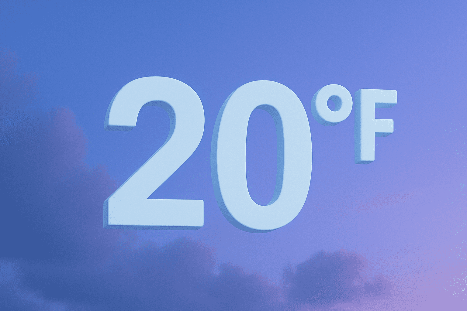
Wilmington, North Carolina – High temperatures nearly 20 degrees below normal are expected Thursday across Wilmington, impacting daytime travel and outdoor activity.
According to a Thursday morning post from the National Weather Service office in Wilmington, afternoon highs are forecast to remain in the upper 30s to lower 40s across coastal southeastern North Carolina. The agency noted conditions will be cloudy and cold, with areas of light drizzle possible during the morning hours.

The unseasonably cold air may be noticeable for commuters traveling along major corridors including Interstate 40, U.S. 17, U.S. 74/76, and College Road (NC-132), particularly during early morning and midday hours. While no winter weather advisories were issued, damp conditions combined with cold temperatures could make it feel colder than thermometer readings suggest.
Normal high temperatures for early February in the Wilmington area typically reach the upper 50s. Thursday’s forecast represents a significant departure from seasonal averages, though the National Weather Service did not indicate any records are expected to be broken.
A four-day outlook shared with the update shows gradual moderation later in the weekend, with daytime highs returning to the low to mid-40s Friday and Saturday before warming further early next week. No hazardous weather alerts were listed in the outlook at the time of posting.
Residents are advised to dress in warm layers and allow extra time for morning travel, especially those heading to work, school, or classes during early hours. Young workers and students commuting on foot or by bus may feel the cold most acutely.
Forecast details are subject to change as conditions evolve.

