
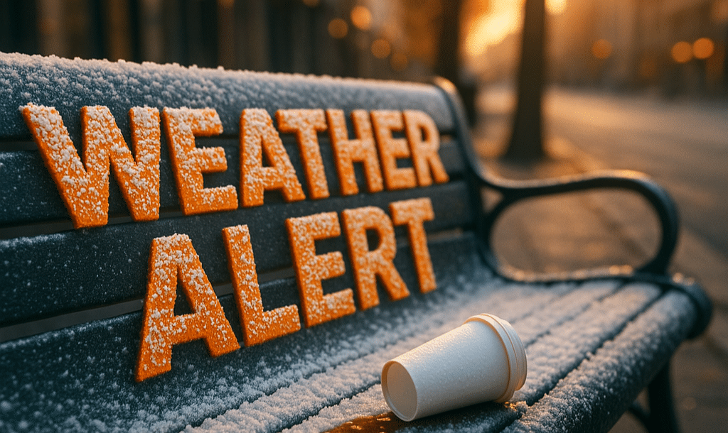
Greenville, South Carolina — A light wintry mix is possible across parts of the Upstate of South Carolina and nearby western North Carolina late tonight as colder air moves in from the north, according to the National Weather Service Greenville–Spartanburg.
Forecasters say rain this evening may mix with or briefly change to snow before ending overnight. Any snowfall accumulations are expected to be light, generally less than one-half inch, though localized amounts up to one inch are possible if the changeover to snow occurs earlier than expected.

In addition to light snow, freezing rain or freezing drizzle could develop as precipitation tapers off. While widespread icing is not anticipated, a very light glaze may form on elevated surfaces, including bridges, overpasses, and untreated secondary roads.
Areas most likely to see wintry precipitation include locations along and north of Interstate 85, Interstate 26, Interstate 40, U.S. Route 29, and I-385, impacting communities such as Greenville, Spartanburg, Anderson, Hendersonville, and surrounding foothill areas.
The National Weather Service notes that most roadways should remain mainly wet, but slick spots are possible, especially at higher elevations and on bridges late tonight into early Thursday morning. Temperatures near the surface will be marginal, limiting overall impacts.
At this time, a Winter Weather Advisory has not been issued, but forecasters indicate one may be needed if later forecasts show higher snowfall or icing amounts. Confidence remains moderate that impacts will stay minor.
For commuters, overnight drivers, and early Thursday travelers, the highest concern window will be late tonight through daybreak, particularly on elevated roadways. Motorists are encouraged to slow down and remain alert for patchy slick conditions.
Residents should continue monitoring updates from weather.gov/gsp as small temperature changes could influence precipitation type and impacts.

