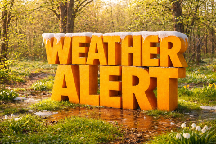
Boston, MA – A spring-like shift in the weather pattern is expected to impact Massachusetts during the February 11–17 period, bringing above-normal temperatures with potential statewide effects.
According to the NOAA Climate Prediction Center, the 8–14 day outlook strongly favors warmer-than-normal temperatures across much of the Northeast, including all of Massachusetts. This transition follows recent stretches of colder winter weather and may offer a temporary break from persistent freezing conditions.
In Boston and eastern Massachusetts, average mid-February high temperatures typically range from the upper 30s to low 40s. Forecast guidance suggests daytime highs may frequently reach the 40s and potentially low 50s during this period. Inland areas such as Worcester, Springfield, and the Berkshires are also expected to trend milder than normal, though nighttime temperatures may still dip near freezing.
While the warming trend may improve day-to-day comfort and travel conditions, it also raises concerns tied to snowmelt and hydrology. Existing snowpack across central and western Massachusetts could begin to thaw, increasing runoff into rivers, streams, and storm drainage systems. Urban and transportation corridors including I-93, I-95, I-90 (Mass Pike), and Route 2 are particularly sensitive to ponding and drainage issues during rapid warmups.
The Climate Prediction Center’s precipitation outlook indicates near to above-normal precipitation potential across parts of New England. Although the outlook does not pinpoint specific storm systems, rainfall combined with snowmelt could elevate the risk of localized flooding and ice movement on rivers such as the Merrimack, Connecticut, and Charles.
Warming temperatures may also weaken ice on ponds, lakes, and rivers statewide. The National Weather Service advises residents to avoid frozen waterways as ice conditions become increasingly unstable during thaw periods.
Commuters, students, and outdoor workers may experience more spring-like afternoons, but officials caution that winter hazards can persist during transitional weather patterns.
Residents across Massachusetts are encouraged to monitor updated forecasts, river statements, and local advisories as confidence increases closer to the February 11–17 timeframe.


