
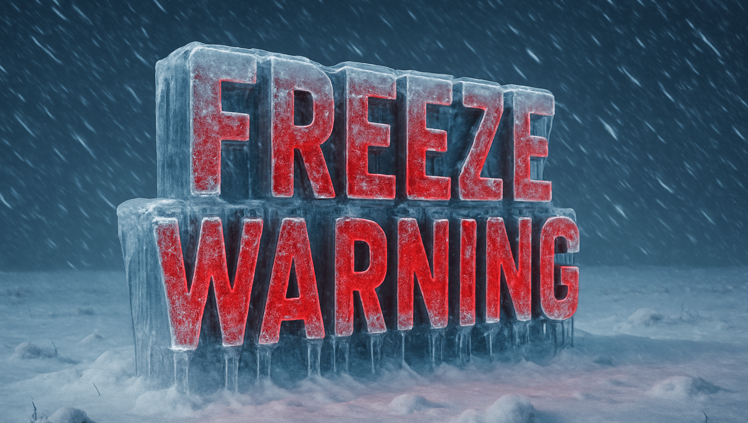
Florida — Cold air settles in fast before sunrise, frosting lawns, rooftops, and windshields across northeast Florida. Breath hangs in the air, palm fronds stiffen, and quiet neighborhoods wake under a rare winter chill. A Freeze Warning remains in effect for Jacksonville and surrounding areas as temperatures dip into the mid-20s inland and near 30 degrees closer to the coast.
National Weather Service meteorologists warn this is not just a chilly morning. It is a damaging freeze for plants, exposed pipes, and pets. Inland communities face a hard freeze, while coastal areas see a lighter freeze with widespread frost. Bridges, overpasses, and shaded roads may turn slick early, especially before sunrise.

Cold conditions linger through the morning before sunshine helps temperatures rebound into the lower 60s by afternoon. Even so, the damage risk is already done. Residents should protect sensitive vegetation, wrap exposed pipes, and bring pets indoors. Outdoor travel remains safe later today, but early drivers should use caution on elevated roadways.
By Wednesday, a slow warming trend begins. Clouds increase, and scattered showers become possible by afternoon into Wednesday night. That rain offers some drought relief, but it arrives after several dry, freezing nights that have already stressed vegetation and increased wildfire concerns inland.
Thursday and Friday trend milder, with highs climbing into the mid-50s and near 60. Patchy frost may still develop early Thursday morning, especially away from the coast. Looking ahead, 6–10 day outlooks suggest above-normal temperatures returning late next week, hinting at an early taste of spring.
For now, winter remains in control. Take cold precautions this morning, allow extra time if driving early, and check on neighbors who may need help. How cold did it get in your neighborhood?
Five-Day Outlook for Jacksonville, FL
- Tuesday: Widespread frost early. Sunny. High near 63°F.
- Wednesday: Mostly sunny, then showers possible late. High near 70°F.
- Thursday: Partly sunny. Patchy frost early. High near 54°F.
- Friday: Sunny. Morning frost possible. High near 60°F.
- Saturday: Sunny and milder. High near 68°F.

