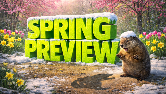
Lincoln, Nebraska – Winter may not be finished shaping conditions across Nebraska, as Groundhog Day tradition and long-range climate signals both point toward a delayed transition into spring. Punxsutawney Phil saw his shadow Monday morning, signaling six more weeks of winter and pushing expectations for a dependable warm-up closer to mid-March.
According to the National Weather Service, Nebraska is placed in an “equal chances” category for temperatures from February through April. That outlook keeps late-season cold snaps, strong temperature swings, and periodic snow events in play statewide. Eastern Nebraska, including Omaha, Lincoln, and Fremont, could still see snow or mixed precipitation into March, while central and western areas may experience sharp shifts between cold air and brief warmups driven by passing systems.
Precipitation is expected to be a notable factor this spring. According to NOAA’s Climate Prediction Center, Nebraska is favored for near to above-normal precipitation during that period. That raises the likelihood of heavier snow during colder stretches and rain during warmer breaks, increasing concerns for slick travel along I-80, Highway 2, and rural roadways, as well as localized flooding later in the season as snowmelt combines with rainfall.
While the Farmers’ Almanac notes spring officially begins Friday, March 20, and highlights a total lunar eclipse early Tuesday, March 3, winter impacts may extend beyond those milestones. Nebraskans are encouraged to stay weather-aware, prepare for changing travel conditions, and monitor future advisories, as winter hazards could remain part of the pattern into early spring.


