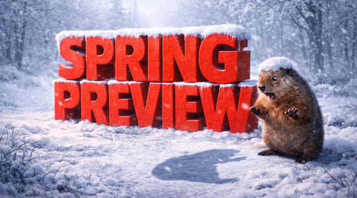
Springfield, Illinois – Winter may not be finished across Illinois, as Groundhog Day tradition and long-range climate signals both suggest a slower transition into spring. Punxsutawney Phil saw his shadow Monday morning, signaling six more weeks of winter and pushing expectations for a consistent warm-up closer to mid-March.
According to the National Weather Service, Illinois falls into an “equal chances” category for temperatures from February through April. That outlook keeps the potential for late-season cold snaps, snow events, and frequent temperature swings in play statewide. Northern Illinois, including Chicago, Rockford, and the Interstate 90 corridor, remains vulnerable to accumulating snow and icy conditions, while central and southern areas such as Springfield, Peoria, and the Metro East could see a mix of snow, cold rain, and brief thaws into March.
Precipitation is expected to be a significant factor. According to NOAA’s Climate Prediction Center, Illinois is favored for above-normal precipitation through early spring. That raises the likelihood of heavier snowfall during colder periods and rain during warmer breaks, increasing concerns for slick travel on major routes like I-55, I-80, and I-57, as well as river rises along the Illinois and Mississippi rivers as snowmelt combines with rainfall.
While the Farmers’ Almanac notes spring officially begins Friday, March 20, and highlights a total lunar eclipse early Tuesday, March 3, winter impacts may extend beyond those milestones. Illinois residents are encouraged to stay weather-aware, plan for changing travel conditions, and monitor future advisories, as winter hazards could remain part of the pattern into early spring.


