
Pennsylvania – Breath hangs in the air across eastern Pennsylvania as a biting Arctic chill tightens its grip on the region. Sidewalks feel brittle underfoot, and untreated roads stay slick as winter conditions refuse to ease.
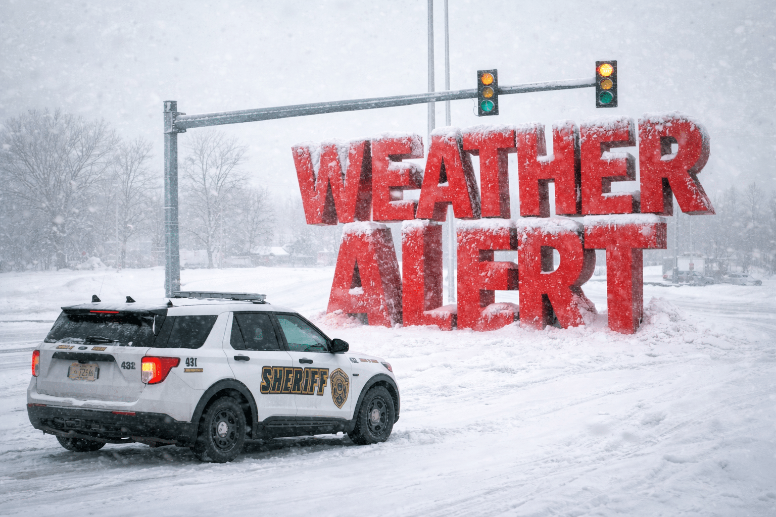
According to the National Weather Service, a Cold Weather Advisory remains in effect through Saturday morning for much of Pennsylvania and New Jersey. Wind chills have dipped as low as 10 degrees below zero, creating a real risk of frostbite and hypothermia without proper layers.

In Philadelphia, temperatures struggle to climb out of the teens today, even with increasing clouds. Gusty winds funnel down city streets, pushing wind chills into the single digits. Any moisture from melting snow or daytime thaw can refreeze quickly after sunset, raising flash-freezing concerns on bridges and shaded roadways.
Travel impacts remain a concern across I-95, I-76, and Route 42, especially during early morning and evening hours. Drivers should plan extra time and watch for black ice, particularly on ramps and overpasses. Pedestrians may also encounter slick sidewalks and icy steps.
Attention turns to Sunday and early next week. Meteorologists are tracking a coastal system that could bring a light snow chance to southeastern Pennsylvania and southern New Jersey Sunday night. Accumulation appears limited for now, but even minor snowfall could worsen travel given the cold ground temperatures.
By Tuesday, February 3rd, temperatures slowly moderate into the low 30s. Winter hazards persist, and additional advisories remain possible as conditions evolve.
Five-Day Outlook for Philadelphia, PA
Friday: Increasing clouds, high near 19°F
Saturday: Partly sunny, high near 20°F
Sunday: Partly sunny, slight snow chance late, high near 23°F
Monday: Sunny, high near 30°F
Tuesday: Mostly sunny, high near 31°F

