
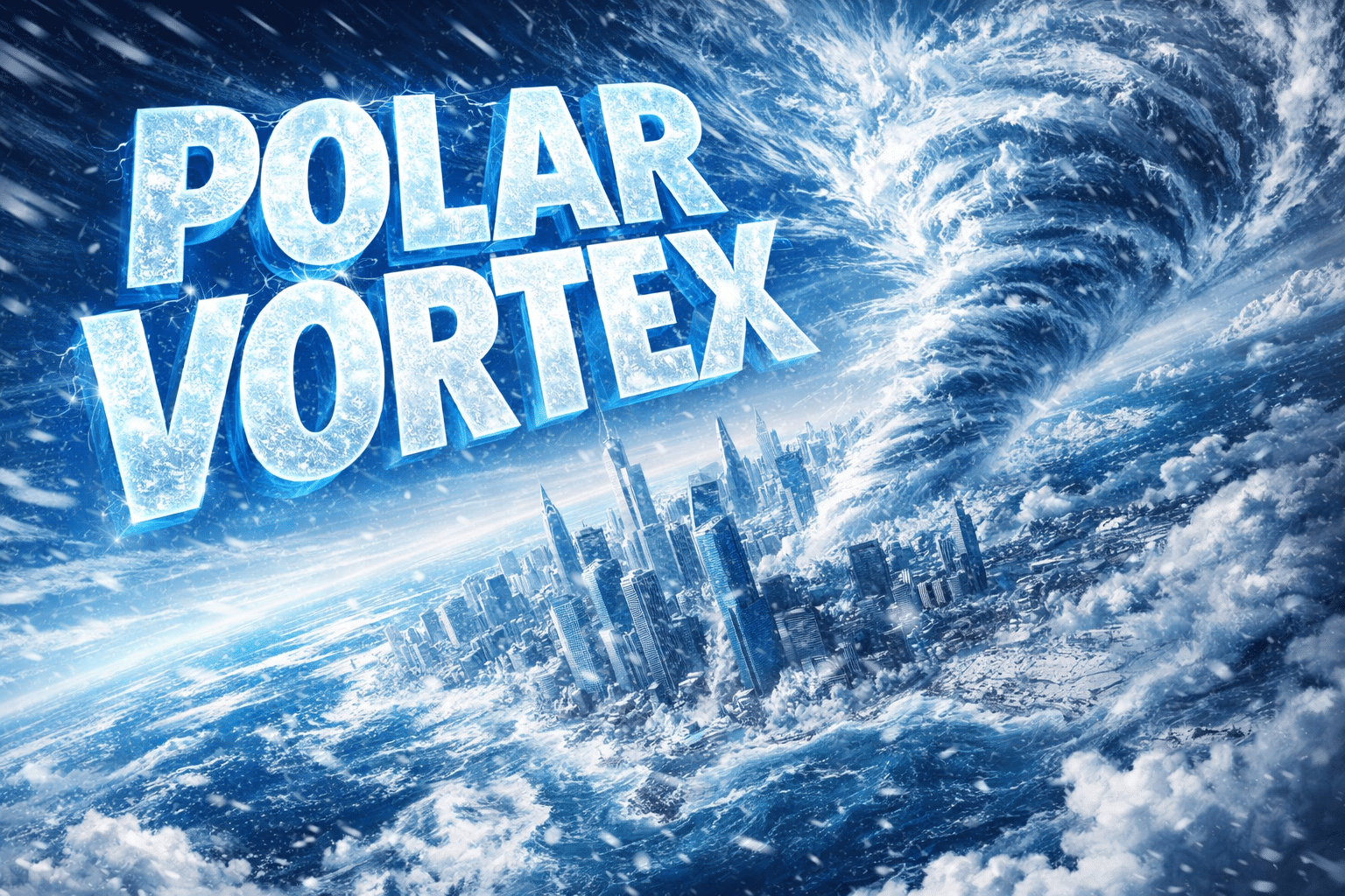
New York City, New York – New York wakes to a sharp, metallic cold that bites exposed skin within minutes, leaving pavement stiff and breath visible across the boroughs. Winter has locked in, and conditions remain hazardous as Arctic air presses deeper into the Northeast.
According to the National Weather Service, a Cold Weather Advisory remains in effect through Saturday morning, with wind chills dropping as low as 5 to 10 degrees below zero. Officials warn that prolonged exposure could lead to hypothermia without proper protection.

Across New York State, frigid air continues to dominate. The Great Lakes are now nearly 50 percent frozen, reinforcing cold air delivery into the Midwest and East. In New York City, afternoon sunshine offers little relief, with highs struggling to reach the low 20s. Gusty winds funnel through avenues, worsening the cold and increasing the risk of flash freezing as any daytime melt refreezes after sunset.
Travel impacts are already mounting. Bridges, overpasses, and untreated side streets remain slick, especially during early morning and evening hours. Drivers on I-95, the Cross Bronx Expressway, and the FDR Drive should allow extra time and watch for black ice.
Looking ahead, attention shifts to Sunday into early next week. Meteorologists are tracking a developing winter system that could bring light snow or a wintry mix by Sunday night into Monday. Even minor snowfall could quickly turn roads icy given the cold ground temperatures.
Temperatures slowly moderate by Tuesday, February 3rd, though winter remains firmly in control. Additional advisories may be issued as conditions evolve.
Five-Day Forecast for New York City, NY
Friday: Sunny, high near 21°F
Saturday: Partly sunny, high near 22°F
Sunday: Mostly cloudy, chance of snow, high near 25°F
Monday: Sunny, high near 32°F
Tuesday: Mostly sunny, high near 33°F

