
Florida wakes up to an unfamiliar chill this morning as crisp air settles across Central Florida lawns and rooftops. Cars show faint frost. Breath turns visible before sunrise. For a region used to mild winters, this cold snap arrives with real impact.
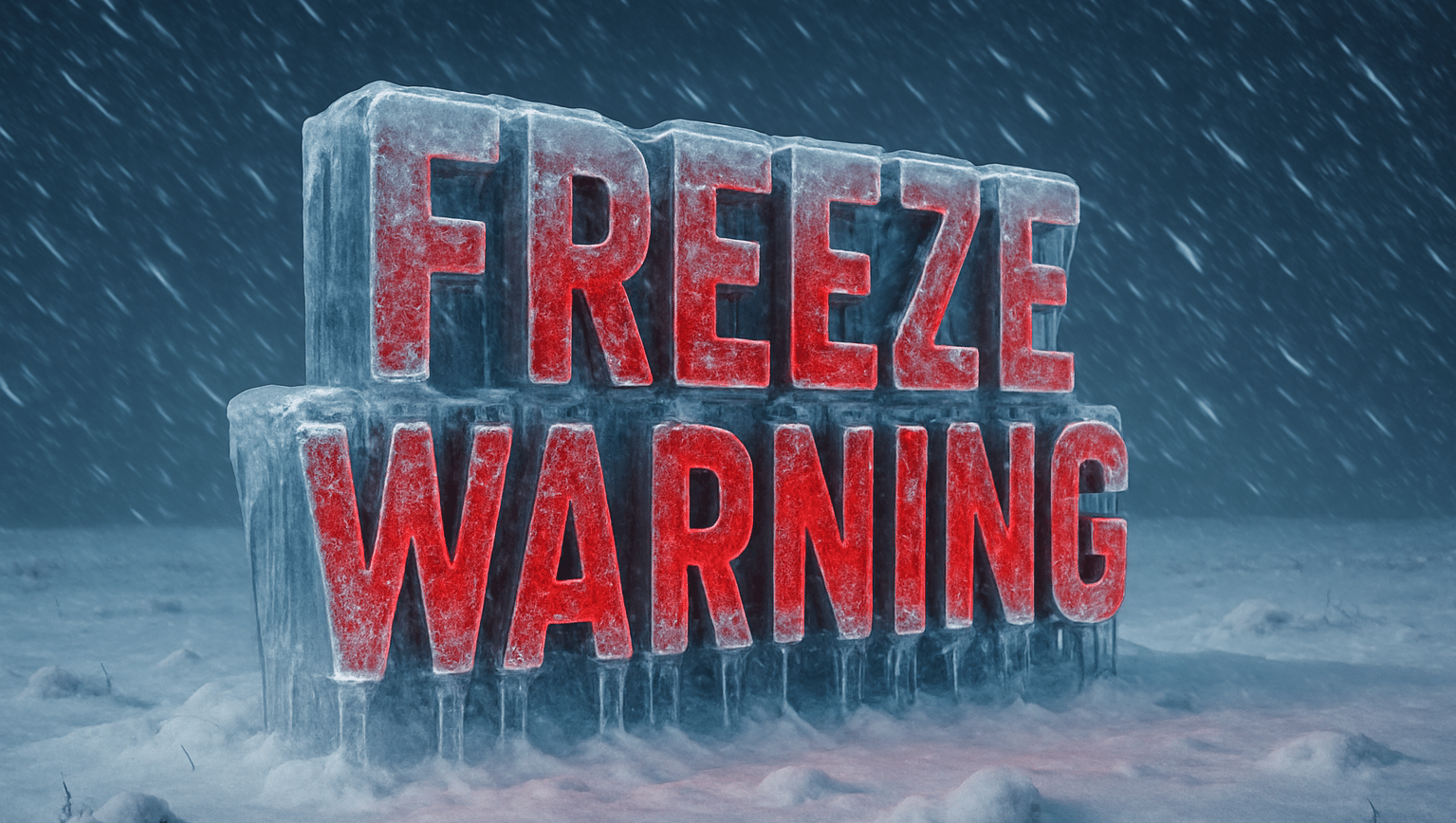
According to the National Weather Service office in Melbourne, a Freeze Warning remains in effect for the Orlando area through mid-morning, with lows near 34 degrees and patchy frost possible. A Cold Weather Advisory also covers parts of Central Florida as wind chills dip into the lower 30s. Sensitive plants, pets, and exposed pipes remain at risk during the early hours.

Temperatures rebound quickly after sunrise. Sunshine pushes highs close to 60 today, easing travel concerns by late morning. Still, bridges, shaded roads, and grassy areas may remain slick early, especially near rural stretches north of Orlando. Drivers should stay alert during the morning commute.
The cold lingers into the next couple of mornings. Another round of patchy frost is possible early Thursday before warmer air finally pushes in. By Friday, highs surge toward the upper 60s, marking a sharp turnaround just days after the freeze threat.
This pattern reflects a larger national setup. Cold air draining from a deeply frozen Great Lakes region has surged south, while much of the Southeast prepares for a notable warm-up into early February. That contrast keeps weather volatile this time of year.
Protect plants now, cover exposed pipes, and bring pets indoors. If traveling early, allow extra time until temperatures climb.
Did you spot frost on your windshield or yard this morning? Share what you’re seeing across Central Florida.
Five-Day Outlook for Orlando, Florida
- Today: Sunny after a cold start, highs near 59°
- Thursday: Patchy frost early, sunny, highs near 63°
- Friday: Sunny and warmer, highs near 69°
- Saturday: Breezy with scattered showers, highs near 57°
- Sunday: Sunny and cooler, highs near 54°

