
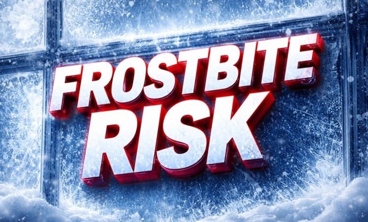
Springfield, IL – Wind chills across Central Illinois could plummet to as low as -17° by early Tuesday, prompting widespread concerns for frostbite and icy conditions before sunrise. Drivers and pedestrians are urged to limit exposure as wind chill values remain dangerously low through the morning commute.
According to the National Weather Service in Lincoln, the coldest air will settle over eastern counties like Champaign, Danville, and Paris, where apparent temperatures could dip between -14° and -17°. Elsewhere, Springfield and Decatur are forecast to see wind chills near -12° to -13°, while Peoria and Bloomington drop to -15°. Western areas including Quincy and Galesburg will see slightly milder, but still bitter, conditions ranging from -3° to -10°.

The frigid temperatures will persist into Thursday, with overnight lows hovering between -10° and 0° through midweek. Daytime highs won’t climb far either, barely reaching the mid-20s in most cities. A slight chance of snow Wednesday could add further complications to already cold conditions.
Residents should avoid extended time outdoors, wear layers, and keep vehicles winter-ready. Local officials recommend checking on vulnerable neighbors and using safe heating methods.
Wind Chill Advisories remain in effect through Tuesday morning, with updates likely as Arctic air lingers.

