
Austin, Texas – Dangerous winter weather is set to grip south central Texas this weekend as freezing rain and bitter cold combine to create treacherous travel conditions and the risk of power disruptions, especially north of the I-10 and U.S. Highway 90 corridor.
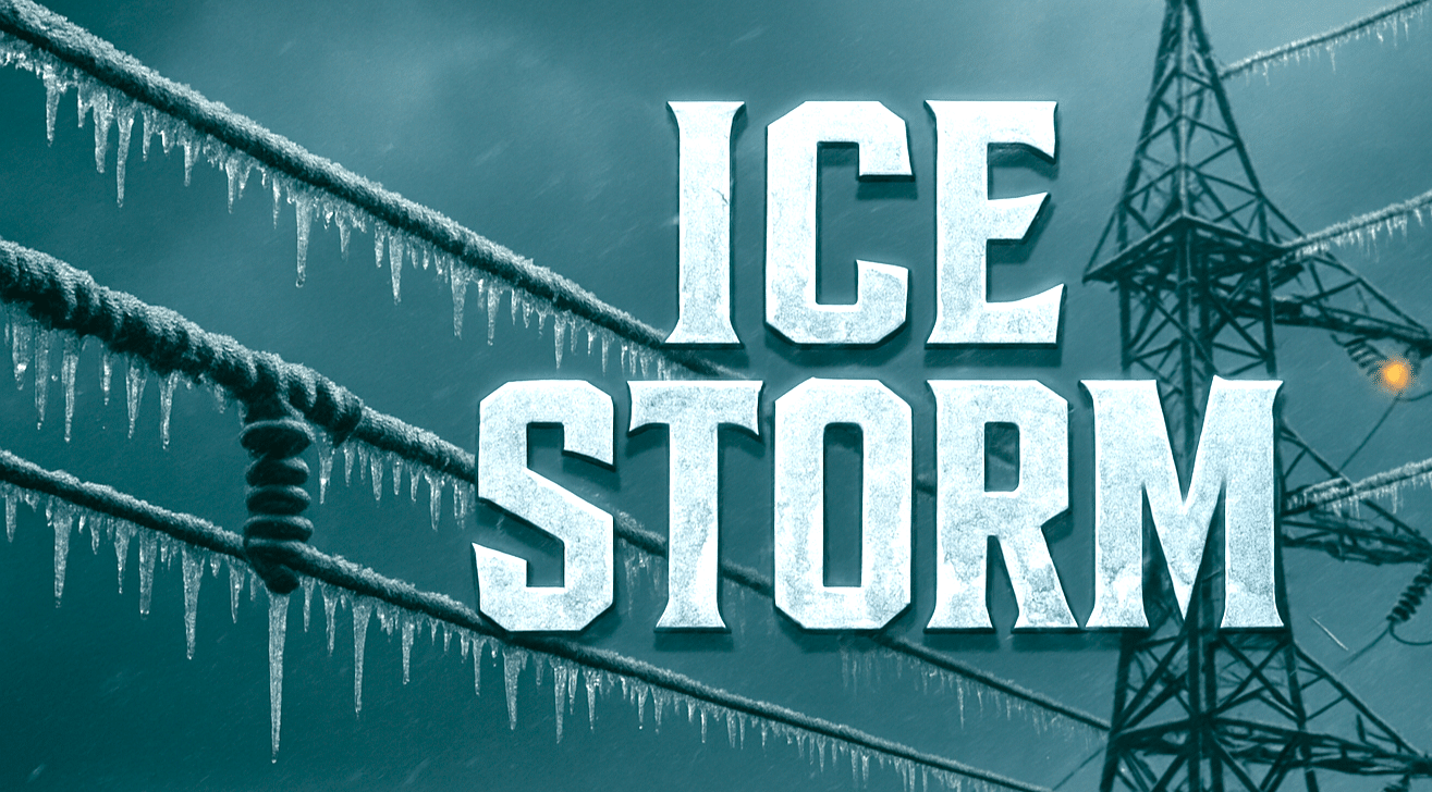
According to the National Weather Service Austin/San Antonio, a Winter Storm Warning is in effect from Saturday morning through Sunday morning for counties north of I-10/US 90, including portions of the Hill Country, the I-35 corridor, and areas north of Austin and San Antonio. Ice accumulations of one-tenth to one-quarter inch are expected, with isolated amounts up to one-half inch possible in the Hill Country.

Cities including Austin, Georgetown, Fredericksburg, Kerrville, Llano, and Rocksprings could see roads turn slick quickly as freezing rain develops. Bridges, overpasses, and untreated roads are expected to be especially dangerous. TxDOT warns that travel may become difficult to nearly impossible during the height of the storm.
An Extreme Cold Warning remains in effect through early next week, with wind chills dropping as low as 5 degrees below zero at times. Residents are urged to stay home if possible, protect people, pets, plants, and pipes, and prepare for rapidly changing road conditions.
The warning area may expand southward if freezing rain spreads farther than currently expected. Additional updates are likely as the storm unfolds through the weekend.

