
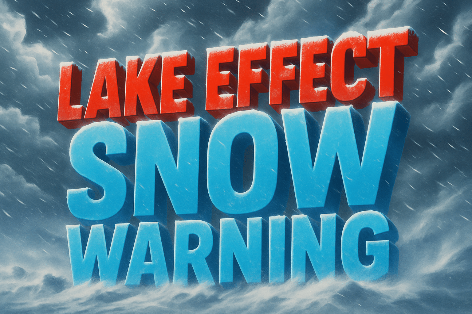
Buffalo, New York – A Lake Effect Snow Warning remains in effect until 1 p.m. Friday for southern Erie and Wyoming counties, with dangerous travel conditions continuing across parts of western New York.
According to the National Weather Service in Buffalo, persistent lake effect snow bands may produce an additional 2 to 4 inches of snow in the most intense areas, with most of the accumulation falling early Friday morning. Wind gusts up to 35 mph are causing blowing and drifting snow, sharply reducing visibility at times.

Travel is expected to be very difficult, particularly during the Friday morning commute. Snow-covered roads and sudden drops in visibility may occur with little warning as narrow lake effect bands shift across the region.
In addition to the ongoing lake effect snow, a Winter Storm Watch remains in effect from late Saturday night through Monday evening for southern Erie and Wyoming counties. Forecasters say heavy snow with significant accumulations is likely during that period, potentially creating prolonged hazardous travel conditions.
The combination of back-to-back winter weather systems increases the risk for extended travel disruptions and difficult road conditions heading into the weekend and early next week.
Residents are urged to monitor forecast updates closely and avoid unnecessary travel during periods of heavy snow. Motorists who must travel should be prepared for rapidly changing conditions, allow extra time, and maintain safe following distances.
Communities across southern Erie and Wyoming counties should begin preparations now for continued winter weather impacts and potentially severe travel conditions through early next week.

