
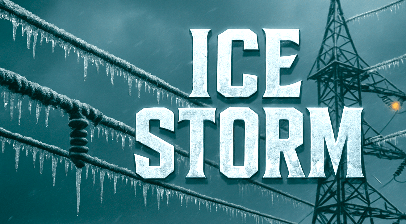
Atlanta, Georgia – A Winter Storm Watch remains in effect for much of Georgia, with heavy mixed precipitation expected to bring dangerous ice accumulations, power outages, and hazardous travel through Monday morning.
According to the National Weather Service in Peachtree City, ice accumulations between one-tenth of an inch and three-quarters of an inch are possible across large portions of north, central, and east-central Georgia. Winds could gust up to 30 mph, increasing the risk of tree damage and downed power lines.

In far north Georgia, including the mountains and northwest counties, the Winter Storm Watch is in effect from late tonight through Monday morning. Across metro Atlanta and much of central and eastern Georgia, the watch begins Saturday afternoon and continues through Monday morning.
Forecasters warn that freezing rain and sleet could make travel nearly impossible at times. Roads, bridges, and overpasses are expected to become slick and hazardous, with conditions likely to worsen overnight and persist into Monday. Hazardous travel conditions could significantly impact the Monday morning commute.
Ice accumulation of this magnitude may lead to widespread power outages and fallen trees, particularly where freezing rain persists for several hours. Gusty winds could further exacerbate impacts by bringing down weakened limbs.
Residents are urged to monitor forecast updates closely and prepare now for potential power disruptions. Officials recommend delaying all non-essential travel once freezing precipitation begins. Motorists who must travel should use extreme caution and carry a winter storm kit, including blankets, water, and emergency supplies.
Commuters, students, and residents across Georgia should be prepared for prolonged hazardous conditions as the winter storm unfolds.

