
Wilmington, North Carolina – A Winter Storm Watch remains in effect from Saturday afternoon through Monday afternoon for parts of southeastern North Carolina and northeastern South Carolina, with accumulating sleet and freezing rain expected to create hazardous conditions.
According to the National Weather Service in Wilmington, sleet accumulations around one-half inch are possible, along with ice accumulations up to three-tenths of an inch. The watch includes Bladen and Robeson counties in North Carolina and Marlboro, Darlington, and Dillon counties in South Carolina.

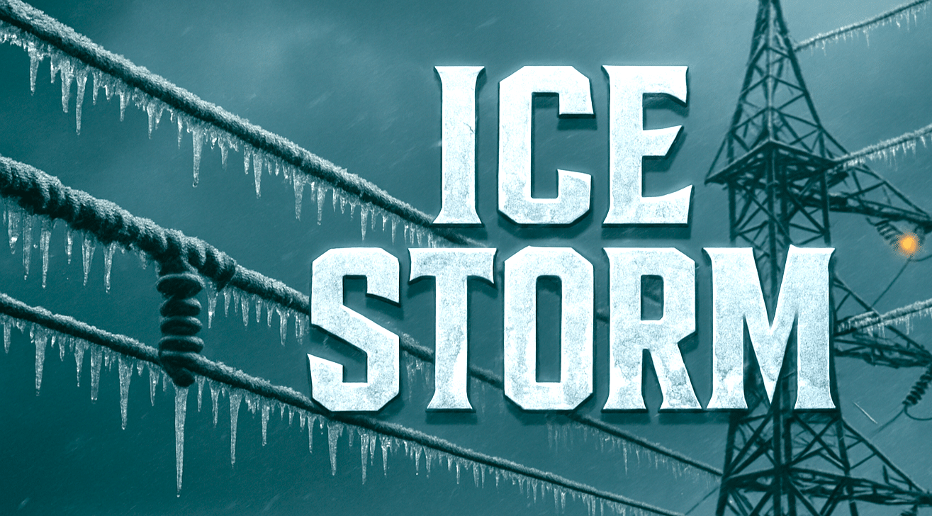
Forecasters say freezing precipitation is expected to begin Saturday and may persist into early Monday. Ice accumulation of this magnitude could result in tree damage and power outages, particularly where freezing rain lasts for several hours.
Roads, bridges, and overpasses are likely to become slick and dangerous, and travel conditions could deteriorate quickly. Officials warn that hazardous conditions may impact the Monday morning commute across the affected counties.
While exact amounts may vary by location, even minor temperature changes could significantly influence ice totals and impacts. Residents are urged to closely monitor forecast updates as confidence increases and details become clearer.
Officials recommend preparing now for possible power outages by charging electronic devices and ensuring essential supplies are available. Travel should be delayed if possible once freezing precipitation begins, and motorists who must drive should use extreme caution.
Communities across southeastern North Carolina and northeastern South Carolina should be prepared for prolonged hazardous conditions as the winter storm develops.

