
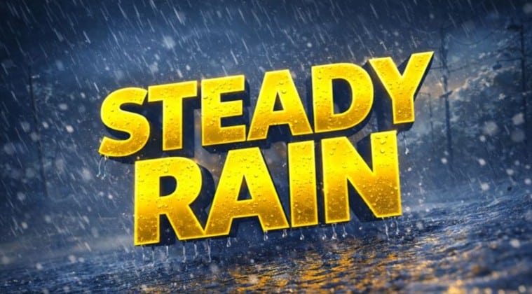
New York, New York – Umbrellas scrape along slick sidewalks this morning as steady rain soaks the city, darkening pavement and slowing traffic across the boroughs. The air feels damp but mild for January, yet change is already lining up. A colder, more winterlike pattern takes hold by Sunday night, setting the stage for freeze concerns early next week.
According to the National Weather Service, rain continues through today with a high near the mid-40s and rainfall totals between a quarter and a half inch. Roads remain wet across Manhattan, Brooklyn, and Queens, especially along the FDR Drive, the Cross Bronx Expressway, and portions of the Belt Parkway. Visibility dips at times, and drivers should plan extra braking distance.

Rain lingers into Sunday morning before gradually tapering. Skies stay mostly cloudy, with temperatures slipping back through the 40s. Winds increase Sunday night, adding a sharp bite and pushing lows into the low 30s. That cooling trend matters. Melted water from today’s rain can refreeze on untreated surfaces, creating pockets of black ice by early Monday.
Monday turns mostly sunny but chilly, with highs near 40. The cold holds through midweek, keeping overnight lows in the mid-30s to lower 40s. While snow is not expected in the city, meteorologists continue tracking wintry weather north and west of New York, a reminder that winter is tightening its grip across the region.
For now, keep coats and umbrellas handy, slow down on wet roads, and watch for slick spots during the morning commute early next week. More advisories may follow as temperatures trend colder.
Five-Day Outlook for New York City, NY
- Today: Rain likely, high near 44.
- Sunday: Morning rain chance, then cloudy, high near 45.
- Monday: Mostly sunny, colder, high near 41.
- Tuesday: Mostly sunny, high near 44.
- Wednesday: Mostly cloudy, high near 48.

