
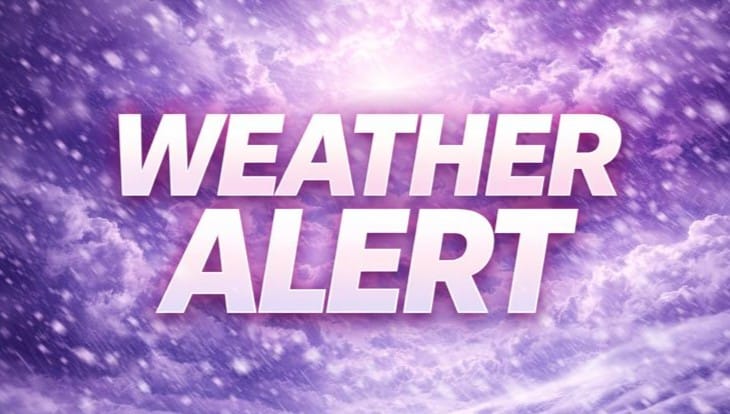
Denver, Colorado – One more day of unseasonably mild weather wraps up Wednesday before colder air and snow chances return to the Front Range, setting the stage for changing travel conditions by Thursday.
According to the National Weather Service in Denver and Boulder, temperatures will remain in the 50s across the urban corridor Wednesday before a weather system pushes into the region late Wednesday night. Rain is expected to mix with snow early Thursday morning, transitioning to light snow by Thursday afternoon as temperatures fall into the 40s along the plains.

The I-25 Corridor south of Loveland, including Denver, Castle Rock, and Colorado Springs, has a 70 to 80 percent chance of picking up at least 1 to 2 inches of snow by Thursday evening. While amounts are expected to remain light, the timing could impact the Thursday morning commute with wet roads turning slick as temperatures cool.
Mountain areas will see more meaningful impacts. Several inches of snow are likely in the higher elevations, with snow continuing through much of Thursday and lingering into Friday morning. Valleys and mountain passes may experience periods of reduced visibility and snow-covered roads.
By Friday, colder air settles in with highs dropping into the 30s across the plains. Light snow or flurries may linger into the morning before conditions gradually improve. The National Weather Service advises drivers to stay alert for changing road conditions as winter weather makes a return to Colorado.

