
Washington – Gray skies pressed low over Puget Sound early this morning as rain misted sidewalks and water pooled near the shoreline. Along the waterfront, tides are running high enough to push seawater onto normally dry ground, creating a brief but disruptive start to the first weekend of 2026.
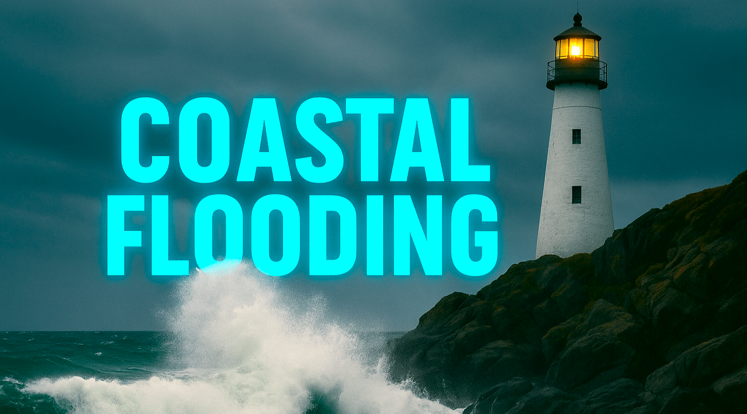
According to the National Weather Service in Seattle, a Coastal Flood Advisory remains in effect through early morning hours. Minor coastal flooding is expected around high tide, with inundation of roughly 2 to 2.5 feet above ground level possible in low-lying coastal areas. Impacts include flooded parking lots, parks, and roads near the water.

In Seattle, light rain continues today with temperatures climbing into the lower 50s. Roads remain slick, especially near Alki Beach, Harbor Island, and low spots along Elliott Bay. Drivers should slow down near flooded intersections and never drive through standing water. Allow extra time if commuting near the shoreline this morning.
Rain persists into Sunday, with steady showers and breezy conditions at times. While widespread road closures are not expected, isolated closures may occur near the coast. Keep rain gear ready and watch for reduced visibility during heavier bursts.
Looking ahead to the first full workweek of 2026, cooler air settles in. Highs hover in the 40s by Monday and Tuesday, with nights dipping toward the upper 30s. With wet pavement lingering, early-morning slick spots are possible, especially on bridges and elevated roads. By midweek, a rain-and-snow mix may develop at night, hinting at a more wintry pattern ahead.
More updates or advisories may be issued as tides and systems shift.
Five-Day Outlook for Seattle, Washington
- Today: Rain likely, high near 53
- Sunday: Rain, high near 49
- Monday: Chance of rain, high near 46
- Tuesday: Rain, high near 43
- Wednesday: Rain likely, high near 45

