
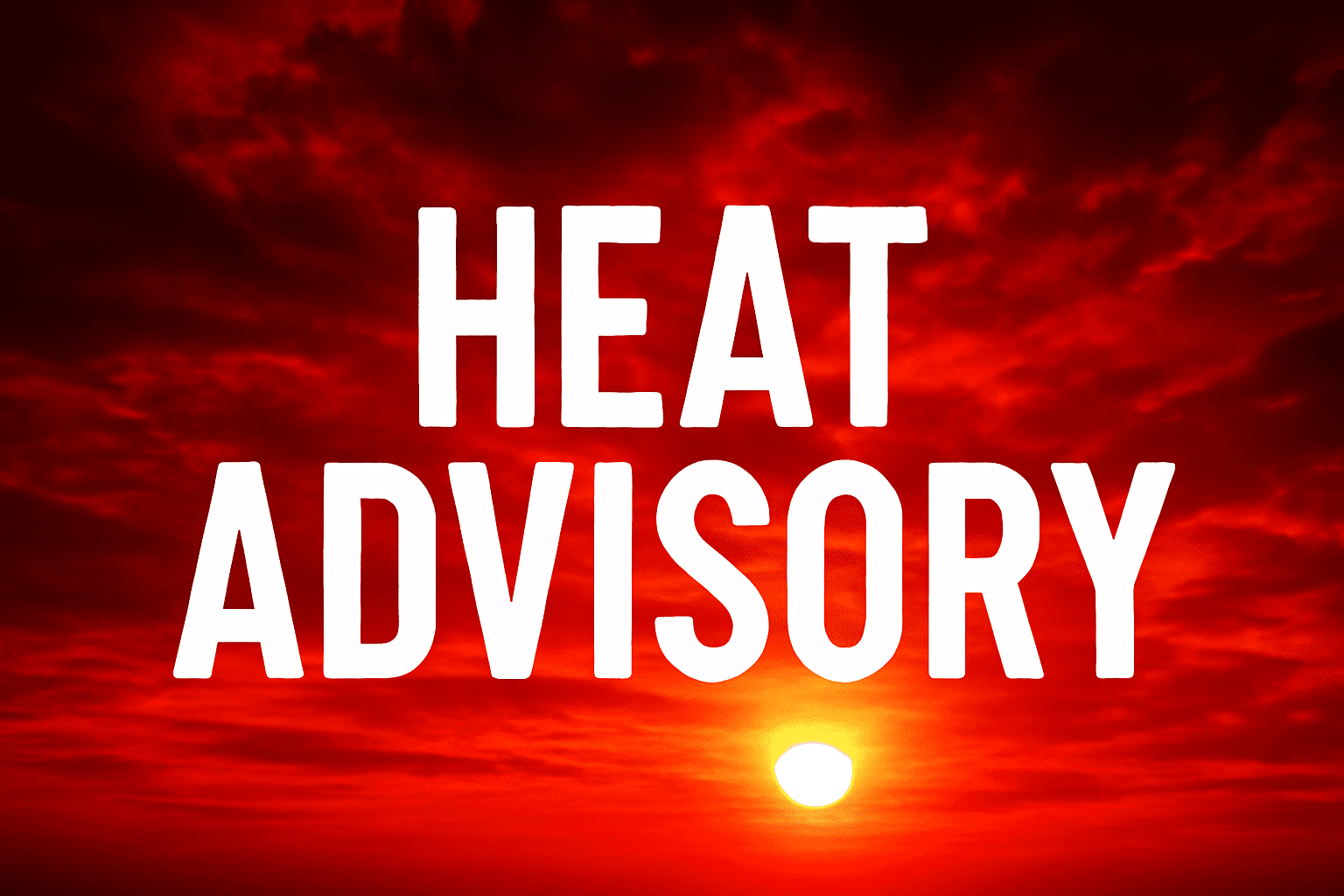
Hastings, Nebraska – Scorching temperatures and strong storms are bearing down on southeastern Nebraska Tuesday, where heat index values could soar to 108°F and severe weather may strike by nightfall. A Heat Advisory remains in effect for much of the region with afternoon highs climbing into the upper 90s and low 100s.
According to the National Weather Service in Hastings, a line of thunderstorms is expected to move in from the west during the evening hours. Some storms could turn strong to severe, bringing damaging wind gusts and large hail. Overnight lows will dip into the mid-60s, offering little relief from the oppressive heat.
Cities across southern and southeastern Nebraska—including York, Geneva, and Hebron—should prepare for potential power outages and difficult travel late Tuesday. Residents are urged to limit outdoor activity, stay hydrated, and ensure mobile devices are fully charged.
Wednesday brings a shift as scattered showers and highs in the upper 70s move in behind the front. Cooler air continues into Thursday with mostly cloudy skies and more comfortable temperatures in the low to mid-70s.
Storm chances taper off Wednesday night, but additional advisories may follow depending on overnight storm strength.

