
Weather
Buffalo, NY Weather: Warming Trend Precedes Tuesday Night Rain in New York

A stylized, 3D graphic showing the text '50°F' in a soft cream-colored sans-serif font, floating against a background of a clear blue sky with soft, sunset-lit clouds near the bottom.
Photo: Country Herald
Buffalo, NY — New York residents are currently enjoying a stretch of calm, golden early September weather, but the atmospheric narrative is set to shift significantly by the time Tuesday, September 8 arrives. While the region currently enjoys crisp air and the gentle transition of late summer into the harvest season, meteorological models indicate a transition toward cloudier, more humid conditions that will reshape the midweek outlook for commuters and outdoor enthusiasts alike.
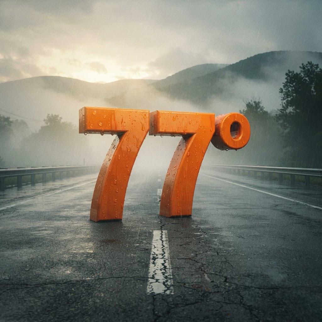
As we look toward Tuesday, the pleasant stability that defined the Labor Day weekend will begin to fray. Daytime temperatures are slated to climb to a balmy 77 degrees, offering a final taste of lingering warmth before a more active weather pattern takes hold. For those traveling along I-90 or local expressways, the early portions of Tuesday will remain largely manageable, though the atmosphere will grow increasingly heavy by the time the sun dips below the horizon.
The most notable development occurs late Tuesday night. Meteorologists are now tracking a subtle shift in the regional wind profile, as south winds begin to usher in moisture from the Ohio Valley. While the daytime hours on Tuesday will feature pleasant, partly sunny skies, the mood will change after 2:00 a.m. Wednesday. A slight chance of rain showers is expected to move into the Buffalo area during the predawn hours of Wednesday, marking a transition away from the dry, sweater-weather conditions that have characterized our early September mornings.

Drivers should prepare for the potential of slick surfaces as moisture returns to the roadways midweek. While no severe alerts are currently in effect, the transition from the dry, crisp conditions we see today to the cloudy, showery regime of Wednesday suggests that travelers should remain vigilant. Those with outdoor plans Tuesday afternoon will enjoy mild, seasonal conditions, but keep an eye on the horizon as those cloud decks thicken toward evening.
This seasonal transition is a classic hallmark of early September in the Great Lakes region. The lengthening darkness and the subtle cooling of our evening air are reminders that autumn is waiting in the wings. While the temperatures on Tuesday reach near 77 degrees, the arrival of rain showers heading into Wednesday morning underscores the unpredictability of transition seasons. Ensure your vehicle is ready for potential damp conditions if your commute takes you across major transit arteries like I-290 or the Buffalo Skyway during the midweek period.
For the latest hyperlocal forecast, radar, and active alerts for Buffalo, visit the National Weather Service Buffalo page.
Are you traveling through Western New York this weekend or planning your midweek commute? Let us know what local weather conditions you are seeing in your neighborhood.
- Tuesday: Partly sunny, 77°/67°
- Wednesday: Chance rain showers, 81°/65°
- Thursday: Slight chance rain showers, 72°/57°
- Friday: Mostly sunny, 70°/59°
- Saturday: Mostly sunny, 74°/55°
Have something happening in your community? Hit the red Post/Submit button above to share events, classifieds, stories and local updates with Country Herald.
SUPPORT LOCAL INDEPENDENT NEWS! Have a tip? Message us!

Related coverage

Crime & Safety
Buffalo Crime: Two Charged Following Large Narcotics and Weapon Seizure

Weather
Buffalo, NY Weather: Sunny Skies and Mild Temps for Labor Day Sept. 7
Refreshing weather…

Weather
New York Weather: Sunny 74° Weekend Relief This Labor Day Weekend in Buffalo

News
What we forget when we remember 9/11

Weather
New York Weather: August 2026 Climate Summary Released

Community
Before the infinity nets, there was ‘The Pacific Ocean’ – what origin stories focusing on Yayoi Kusama’s mental illness miss about her art
Weather
Binghamton, NY Weather: Warming Trend Reaches 77° by Sept 8th on I-81
Weather