

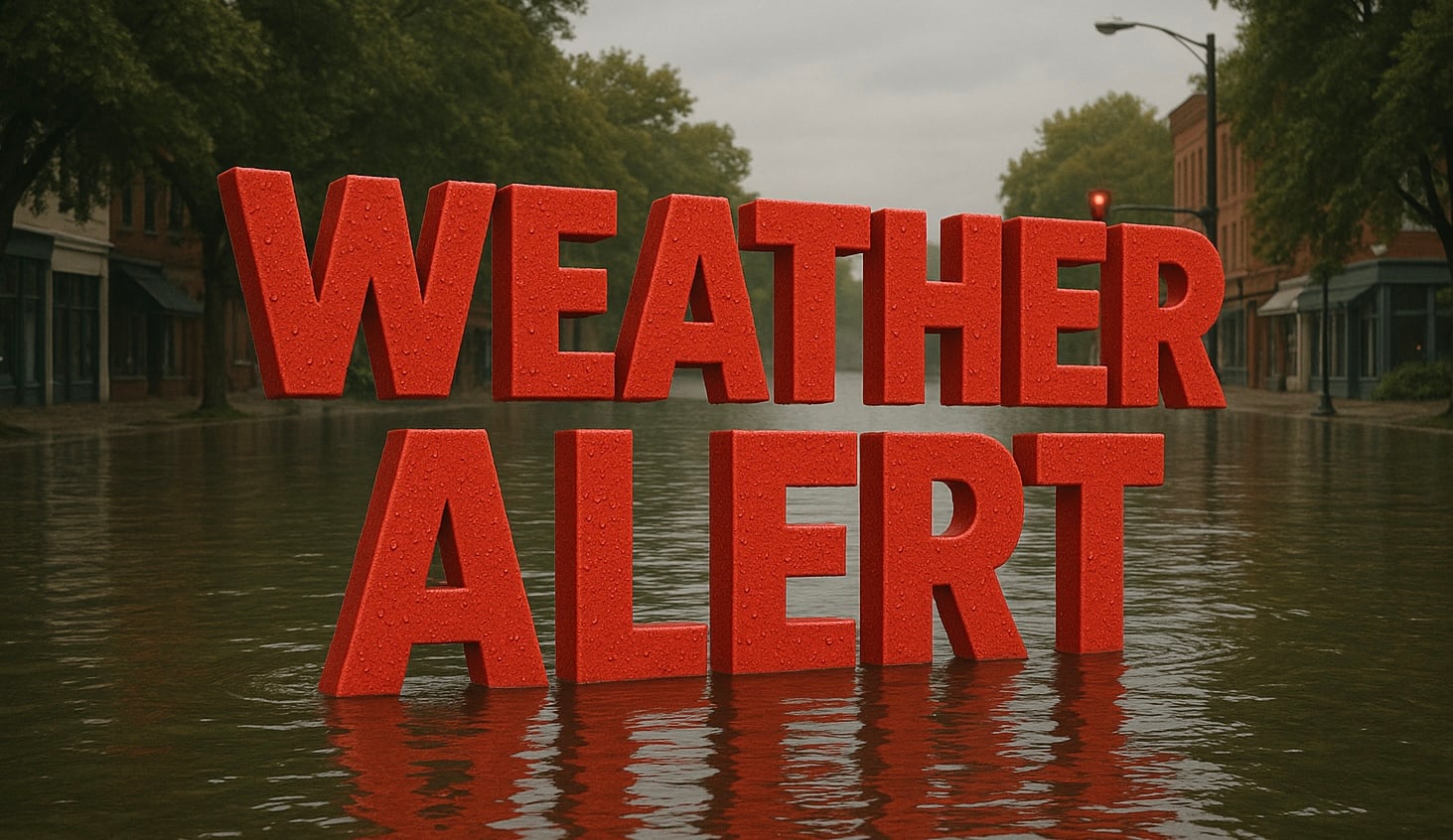
Binghamton, N.Y. – Dark smoke hangs over parts of the Southern Tier this morning, but the bigger concern develops later today. As warmer, more humid air pushes northward, thunderstorms are expected to strengthen quickly. Some could produce damaging wind, torrential rain and isolated tornadoes before cooler air arrives.
According to the National Weather Service in Binghamton, widespread smoke will linger through late morning while showers and thunderstorms become increasingly likely before midday. Temperatures will climb into the mid-80s, with southwest winds increasing to 10 to 15 mph and gusts reaching 21 mph. Rain chances reach 100% during the day.

The National Weather Service’s Hazardous Weather Outlook warns that a cold front crossing central New York and northeast Pennsylvania could produce damaging wind gusts exceeding 70 mph, isolated tornadoes, and localized flash flooding. Heavy rainfall may quickly overwhelm low-lying and poor-drainage areas, especially where storms repeatedly track over the same locations.
Travel conditions could deteriorate rapidly this afternoon on Interstate 81, Interstate 86, State Route 17 and Route 11. Wet pavement, reduced visibility and brief ponding may slow traffic around Binghamton, Vestal, Johnson City, Endicott, Norwich and surrounding communities. If you must travel, allow extra time and never drive through flooded roadways.
Air quality also remains a concern. The New York State Department of Environmental Conservation continues an Air Quality Health Advisory for fine particulate smoke through tonight. Sensitive groups, including children, older adults and anyone with asthma or heart disease, should reduce prolonged outdoor activity until cleaner air returns.
Conditions improve on Sunday as clouds gradually break and temperatures ease into the mid-70s. Sunshine returns Monday with highs near 82 degrees before another round of showers and thunderstorms develops on Tuesday, July 21, with rain chances climbing back to 80%.
Across the broader Northeast, the advancing cold front is expected to push smoke eastward while triggering additional strong storms before cooler, less humid air settles into the region early next week.
Traveling later today? Let us know what conditions you’re seeing around Binghamton and across the Southern Tier.
Five-Day Forecast for Binghamton, New York
- Sunday: Decreasing clouds. High 76°F, Low 53°F.
- Monday: Sunny. High 82°F, Low 63°F.
- Tuesday: Chance of showers and thunderstorms, becoming more widespread during the afternoon. High 82°F, Low 64°F.
- Wednesday: Showers and thunderstorms likely. High 80°F, Low 57°F.
- Thursday: Mostly sunny. High 78°F, Low 57°F.


