

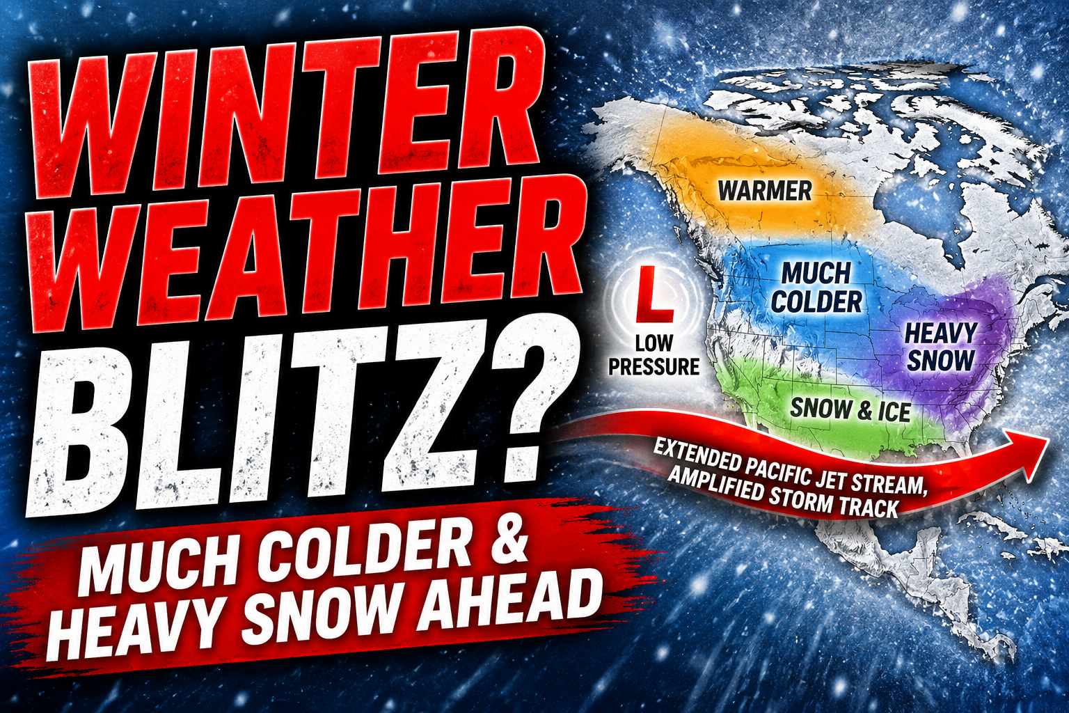
Austin, Texas – A growing signal in the Pacific Ocean could shape weather across Texas for months, as forecasters say El Niño has developed and is increasingly likely to strengthen into a major climate pattern by fall and continue through the winter.
According to the National Weather Service Austin-San Antonio and NOAA’s Climate Prediction Center, the latest outlook issued in July 2026 shows high probabilities that El Niño will strengthen through the coming seasons, with strong to very strong conditions becoming the most likely outcome from late fall into winter. The forecast probabilities indicate the highest confidence for a strong event between November and February.

For Texas, El Niño often brings cooler and wetter conditions during the fall and winter compared with average years, although individual storms and temperature swings can still vary significantly. The exact impacts will depend on how the climate pattern evolves and interacts with other weather systems over the coming months.
Residents, farmers, emergency managers and water resource officials across South Central Texas should continue monitoring seasonal outlooks as they prepare for potential shifts in rainfall, drought conditions and storm activity. NOAA notes that stronger El Niño events do not guarantee more severe weather, but they can increase the likelihood of weather and climate impacts that affect travel, agriculture and water supplies.
Additional seasonal outlooks and updates are expected from NOAA and the National Weather Service as the Pacific climate pattern continues to evolve through the summer and into the fall.


