
Weather
New Orleans, LA Weather: Storms Likely to Return by Tuesday in Louisiana

Weather title card: New Orleans, LA Weather: Storms Likely to Return by Tuesday in Louisiana
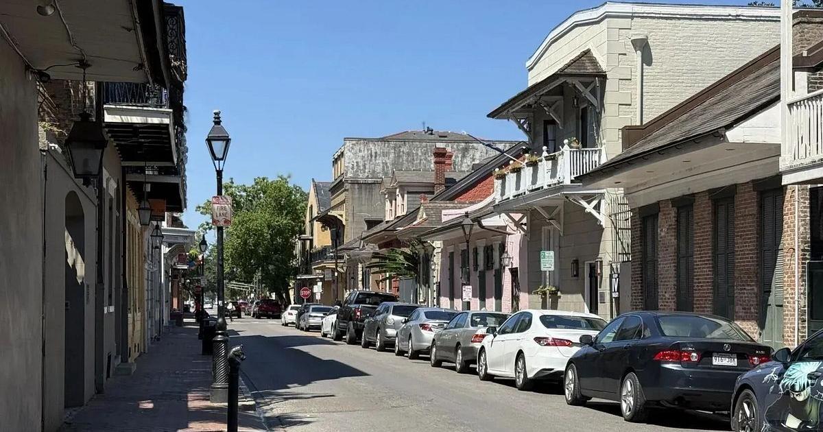
Photo: Country Herald
New Orleans, LA — Louisiana residents should prepare for a shifting atmospheric pattern as we move into the second week of September. While the current cycle brings intermittent heat, the mid-week period introduces a more consistent threat of rainfall across the metro area. Meteorologists are now tracking a developing pattern that shifts from localized sunshine to more widespread showers and thunderstorms by Tuesday, September 8.
As we transition deeper into September, the typical seasonal humidity remains a persistent factor for the region. By Tuesday, the meteorological data indicates that the atmosphere will destabilize, bringing a higher likelihood of convective activity. Residents and commuters heading out on local routes should anticipate a return of wet pavement and potentially reduced visibility during the morning and afternoon commute. The forecast models show that showers and thunderstorms will be likely throughout Tuesday, which may impact travel plans across the city's network of surface streets.
While we do not yet see the crisp, cool air associated with the peak of autumn, the shorter days remind us that the season is indeed turning. Temperatures are expected to reach a high of near 90 degrees on Tuesday, keeping the air heavy with lingering summer-like warmth. These conditions require those who work outdoors or travel frequently to stay alert for rapidly changing weather, especially as thunderstorms develop in the heat of the afternoon. Plan extra time for your Tuesday morning commute, as rain showers are possible even before the sun fully ascends.

The current pattern suggests that this instability will not be a fleeting event, as moisture is expected to persist into Tuesday night. With winds picking up from the northeast at speeds between 0 and 10 mph, the environment will remain favorable for development of storms throughout the day. Motorists navigating major thoroughfares should exercise caution, as slick spots often form quickly when rainfall moves through the area during peak travel hours.
As the weekend concludes, the focus shifts entirely to the incoming moisture arriving Tuesday. We encourage everyone to monitor local updates as the situation evolves throughout the early part of the week. The humidity and heat indices, which have dominated the Labor Day weekend, will continue to play a role in the strength of these incoming storms. Are you planning travel for Tuesday? Tell us what conditions you are seeing in your neighborhood as the weather pattern shifts.
For the latest hyperlocal forecast, radar, and active alerts for New Orleans, visit the National Weather Service New Orleans page.
- Tuesday: Showers and Thunderstorms Likely, 90/78
- Wednesday: Chance Showers and Thunderstorms, 90/77
- Thursday: Chance Showers and Thunderstorms, 90/77
- Friday: Chance Showers and Thunderstorms, 91/77
- Saturday: Chance Showers and Thunderstorms, 90/76
Have something happening in your community? Hit the red Post/Submit button above to share events, classifieds, stories and local updates with Country Herald.
SUPPORT LOCAL INDEPENDENT NEWS! Have a tip? Message us!

Related coverage

Crime & Safety
New Orleans Arrest Made Following Homicide Investigation

Business
Louisiana positioned as key gateway for Venezuelan crude
Refreshing weather…

Weather
Louisiana Weather: Stormy Labor Day Weekend Outlook in New Orleans

Business
J&J, others hit with $10M talc mesothelioma verdict

Crime & Safety
Former Louisiana attorney charged in Hurricane Ida insurance fraud scheme
Local News
Audit finds thousands of questionable addresses on New Orleans trash rolls

Crime & Safety
Prosecutors rest case in staged accidents murder trial

Politics