Weather
Hastings, NE Weather: Relief Arrives Sept 8th After Intense Heat

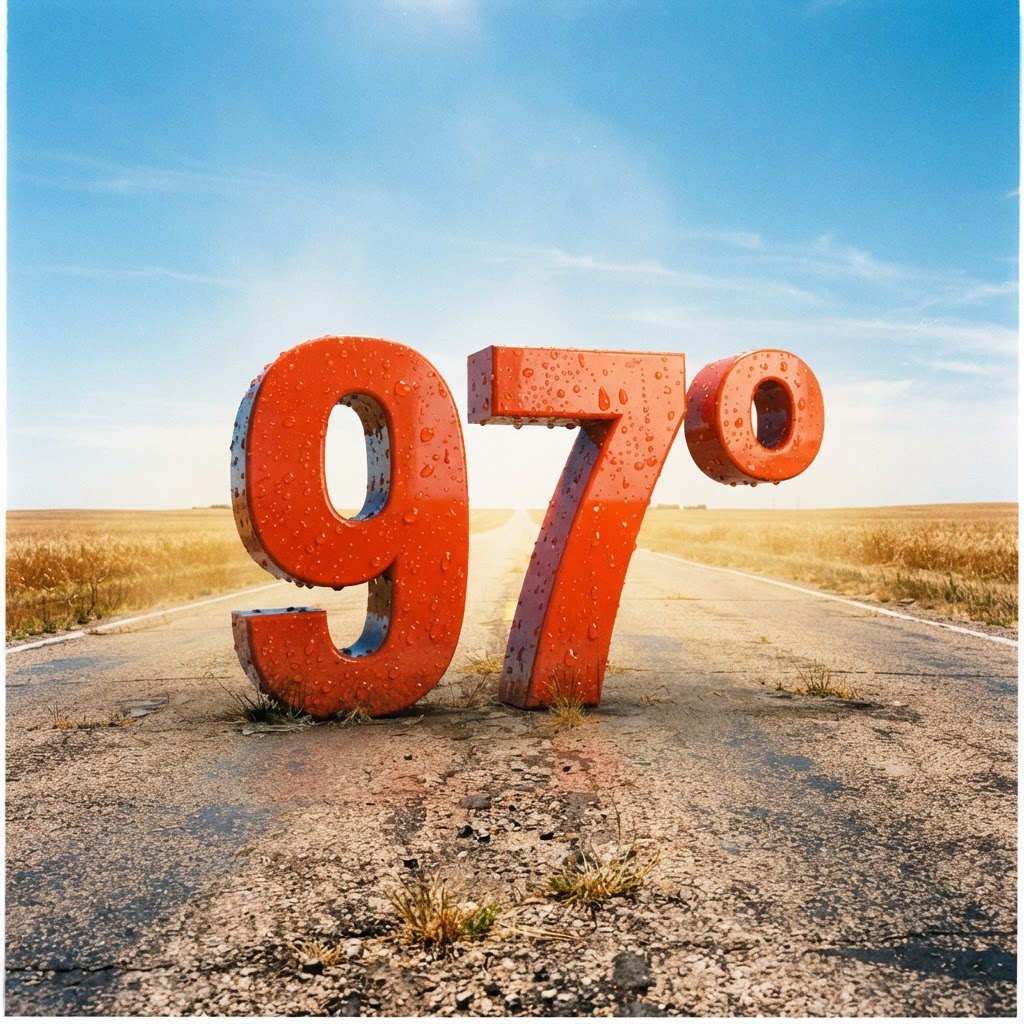
Weather title card: Hastings, NE Weather: Relief Arrives Sept 8th After Intense Heat
Photo: Country Herald
Hastings, NE — Nebraska residents will soon feel a subtle but welcome shift in the atmosphere as the current grip of late-summer heat begins to loosen its hold by early next week. While the coming days will remain notably warm, a distinct transition is brewing, signaling the slow approach of fall. By Tuesday, Sept 8, the landscape will undergo a meteorological pivot that promises a respite from the prolonged heat index values that have dominated the region recently. The shift begins to materialize Tuesday afternoon, as changing wind patterns and a high-probability event for precipitation offer a taste of the season's impending arrival.
Meteorologists are currently tracking a transition that will see daytime highs fluctuate before settling into more comfortable territory. On Tuesday, residents should prepare for a high of 94 degrees under mostly sunny skies, but the real story unfolds after 1 p.m. A 20 percent chance of showers and thunderstorms serves as the precursor to a more significant cool-down. By Tuesday night, as the air turns, the chance of precipitation climbs to 50 percent, with temperatures dropping to a refreshing 68 degrees. This change, driven by north-northeasterly winds, will be a stark departure from the humid conditions experienced over the Labor Day holiday.
For those planning travel on I-80 or local secondary routes, Tuesday will be a day of transition. Motorists should stay alert, as convective activity—while currently classified as a light chance of storms—can lead to localized ponding on roadways and reduced visibility. The influx of cooler air by Tuesday night provides the first meaningful hint of the crisp, autumn mornings that Hastings residents eagerly anticipate as September progresses. Keep your lighter layers handy, as the nightly lows will dip significantly lower than those seen earlier in the week, reflecting the lengthening darkness and the seasonal shift toward cooler fall nights.

The upcoming patterns suggest that the intense, heat-heavy atmosphere is finally beginning to yield. While the foliage has yet to turn, the changing wind direction and the drop in nightly temperatures are nature’s way of transitioning the plains into the harvest season. If you are commuting mid-week, monitor the skies Tuesday afternoon, as the developing storm chance could impact your return travel plans. We are keeping a close watch on this front as it moves through, potentially offering the most pleasant evening air we have seen in weeks. As the shorter days continue to set in, these shifts serve as a reminder that summer's duration is limited.
For the latest hyperlocal forecast, radar, and active alerts for Hastings, visit the National Weather Service Hastings page.
- Sunday: Partly Sunny, 92°/70°
- Labor Day: Mostly Sunny, 95°/76°
- Tuesday: Mostly Sunny with late storms, 94°/68°
- Wednesday: Chance of storms, 89°/66°
- Thursday: Slight chance of showers, 88°/66°
Have something happening in your community? Hit the red Post/Submit button above to share events, classifieds, stories and local updates with Country Herald.
SUPPORT LOCAL INDEPENDENT NEWS! Have a tip? Message us!