Weather
Glasgow, MT Weather: Sharp 19-Degree Cool-Down Arriving by Tuesday Sept 8th
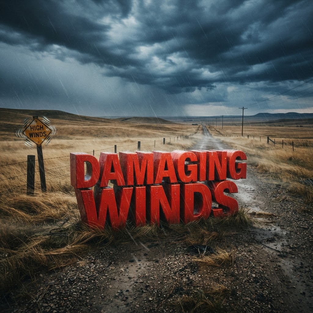
Weather title card: Glasgow, MT Weather: Sharp 19-Degree Cool-Down Arriving by Tuesday Sept 8th
Photo: Country Herald
Glasgow, MT — Montana residents should prepare for a significant atmospheric shift as the sweltering heat of the weekend gives way to a brisk, gusty transition by Tuesday, September 8. While today may feel like a continuation of late-summer warmth, a robust cold front is currently tracking toward the region, signaling that sweater weather is officially on the horizon. This incoming system will sweep across the plains, ushering in crisp, cool air that marks the definitive arrival of the autumn season in our corner of the state.
By Tuesday afternoon, the mercury will struggle to climb, peaking near a modest 70°F. This represents a stark departure from the highs nearing 90°F seen previously. The shift will be punctuated by intense, blustery conditions as the wind turns out of the west. Meteorologists are tracking sustained winds between 20 and 29 mph, with potentially dangerous gusts reaching as high as 43 mph. Travelers navigating across the region should remain hyper-aware of high-profile vehicle advisories, especially while driving along open stretches of US-2, where the wind will be particularly impactful.
As the sun sets on Tuesday evening, the temperature will plummet toward a chilly 46°F. This represents the first true taste of seasonal cooling that often brings a touch of frost to the local foliage and gardens. It is time to ensure that garden harvests are secured and that outdoor equipment is stowed for the coming season of shorter days and lengthening darkness. The air will feel noticeably sharper and drier as the system clears out, setting the stage for the quieter, cooler days of mid-September.

Early morning commuters on Wednesday will face the initial shock of these sub-50-degree lows. With the transition to autumn underway, morning frost on windshields may become a recurring concern for those starting their day before sunrise. Keep your heavy coats and scarves handy, as the period between Tuesday and Wednesday night will effectively purge the remaining humidity of the summer months. The regional landscape, currently transitioning, will soon display the muted colors of the harvest season under these clearer, colder skies.
Conditions are expected to stabilize by Wednesday, bringing a return of sunny skies and more seasonal highs near 78°F, but the overnight chill will remain a fixture of the week ahead. We encourage all residents to monitor their local conditions closely as the wind patterns shift. For the latest hyperlocal forecast, radar, and active alerts for Glasgow, visit the National Weather Service Glasgow page.
Are you seeing early signs of foliage changes or frost in your neighborhood as the weather turns? Tell us what conditions you're seeing as we move into this fresh autumn week.
• Sunday: Showers and Thunderstorms, High 85°F/Low 59°F
• Labor Day: Showers and Thunderstorms, High 76°F/Low 49°F
• Tuesday: Chance Rain Showers, High 70°F/Low 46°F
• Wednesday: Sunny, High 78°F/Low 49°F
• Thursday: Mostly Sunny, High 82°F/Low 51°F
Have something happening in your community? Hit the red Post/Submit button above to share events, classifieds, stories and local updates with Country Herald.
SUPPORT LOCAL INDEPENDENT NEWS! Have a tip? Message us!