
Weather
Detroit, MI Weather: 87° Heat Spike Arrives for Mid-Week in Southeast Michigan
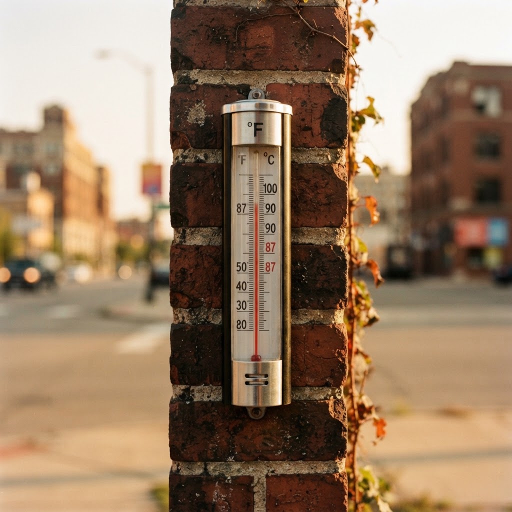
Abstract editorial illustration for: Detroit, MI Weather: 87° Heat Spike Arrives for Mid-Week in Southeast Michigan
AI Generated
Detroit, MI — Michigan residents should prepare for a distinct shift in weather patterns as a warm surge makes its way toward the region by Wednesday. While the early days of the week remain pleasant and sunny, conditions will transition rapidly as temperatures climb toward a humid high of 87° by Wednesday afternoon.
As we transition deeper into September, the atmosphere across Detroit is showing signs of its typical autumnal unpredictability. Meteorologists are tracking a setup that brings warmer, southwesterly winds of 12 to 16 mph into the area mid-week. If you have outdoor plans or travel scheduled along I-75 or I-94 during the morning hours, be aware that a chance of rain showers is expected between 8 a.m. and 2 p.m. on Wednesday.
The brief mid-week heat represents a departure from the cooler, crisp air characterizing our recent evenings. With the season shifting toward shorter days and lengthening darkness, the arrival of this warmth will feel particularly pronounced. However, the respite will be temporary; models indicate that temperatures will drop significantly to a low of 66° by Wednesday night as winds shift to the west-southwest. This transition is a reminder that fall cold fronts can alter the landscape quickly, turning a summer-like afternoon into a cool, sweater-worthy evening.

Commuters should plan for potential slick spots if the morning showers arrive during peak travel times. While no severe weather is currently anticipated, shifting winds and fluctuating temperatures can create variable driving conditions. It is always wise to keep a light jacket or coat accessible as we navigate the transition from the warmth of midday to the biting chill that defines these early autumn nights.
As the week progresses, the atmosphere will stabilize, returning to more seasonal levels with highs in the upper 70s toward the end of the week. This is the perfect time to check your vehicle's fluids and tire pressure as we prepare for the consistent drop in temperatures that accompanies the harvest season and the eventual turn of the foliage. Stay alert for any sudden changes in the local radar as the front moves through.
For the latest hyperlocal forecast, radar, and active alerts for Detroit, visit the National Weather Service Detroit page.
Are you traveling across the state this week? Tell us what conditions you are seeing in your neighborhood.
- Monday: Mostly Sunny, 77°/60°
- Tuesday: Mostly Sunny, 82°/70°
- Wednesday: Chance Rain Showers, 87°/66°
- Thursday: Partly Sunny, 78°/58°
- Friday: Sunny, 78°/60°
Have something happening in your community? Hit the red Post/Submit button above to share events, classifieds, stories and local updates with Country Herald.
SUPPORT LOCAL INDEPENDENT NEWS! Have a tip? Message us!
Source: National Weather Service
More from Detroit, MI
Related coverage

Weather
Michigan Weather Alert: 14-Degree Weekend Cool-Down Awaits Detroit

Politics
Just 5% of Michigan primary votes cast on Election Day; Trump reacts to results
Refreshing weather…

Business
Michigan invests millions to study potential clean energy source buried underground
Politics
Michigan Democrats finalize nominations, continue calls for unity heading into November

Politics
Postal Service pushes ahead on Trump order limiting vote-by-mail

Politics
New House committee to examine signature verification sampling process for ballot initiatives

Politics
Canadian tariffs to further raise prices, a top concern for voters

Politics